

Even as residents in the Northern Seacoast plow and shovel their way out of snow-clogged driveways they can expect another three or so inches today as the storm chugs slowly out to sea.
Snow is forecast to start up again around the time of this posting, with an expected storm total of 12-18 inches before it winds down
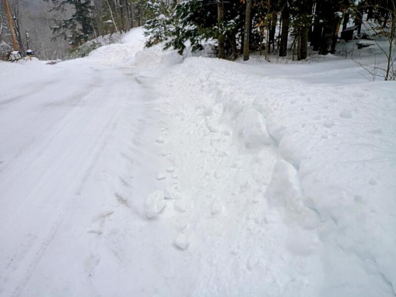
As of 9 a.m. in West Lebanon, Maine, snow totals were already around a foot, with three-foot plow drifts at the end of driveways.
And while the snow was forecast to be of the fluffy variety, when all was said and done and packed down with 18 hours of constant snow by this morning, it was heavier than most had expected.
Drifts of 16 inches in many places were the norm across the region.
Meanwhile, Rochester Police reported today that there had been no major crashes during the storm, only a couple of cars sliding off the roadway.
"It looks like people have heeded the warning to stay home and not drive so the plow trucks could work," said Rochester Police Capt. Jeremy Aucoin."
Temperatures as of this posting were around 12 in Rochester and eight in West Lebanon.
Meanwhile, winds out of the north-northeast make it feel more like zero.
Snow will continue off and on at various strengths throughout the day into the late evening when it finally peters out.
What won't peter out, however, is the cold. The region will remain in a deep freeze throughout the week, with highs of 16 today, 19 on Tuesday, 21 on Wednesday, 18 on Thursday and 15 on Friday, with nighttime lows in the single digits or below.
Saturday's high will be a balmy 24.
Accuweather material was used in this report